UP Bhunaksha (भूनक्शा)
Uttar Pradesh Land Map with Survey Numbers
सर्वे नंबर के साथ उत्तर प्रदेश भूमि मानचित्र
Instant
₹19
Uttar Pradesh
UP Land Records Department
What is UP Bhunaksha (भूनक्शा)?
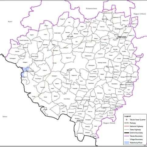
UP Bhunaksha provides detailed land maps showing plot boundaries, survey numbers, ownership details, and geographical features for any village in Uttar Pradesh. This comprehensive mapping service is essential for property verification, boundary disputes, and land development planning. The system offers accurate geographical representation of land parcels with precise measurements, adjacent plot information, and administrative details crucial for property identification, construction planning, and legal documentation across rural and urban areas of Uttar Pradesh state.
यूपी भूनक्शा उत्तर प्रदेश के किसी भी गांव के लिए प्लॉट सीमाओं, सर्वे संख्या, स्वामित्व विवरण और भौगोलिक विशेषताओं को दिखाने वाले विस्तृत भूमि मानचित्र प्रदान करता है। यह व्यापक मानचित्रण सेवा संपत्ति सत्यापन, सीमा विवाद और भूमि विकास योजना के लिए आवश्यक है।
What is it used for?
Frequently asked — UP Bhunaksha (भूनक्शा)
What is UP Bhunaksha and how is it useful?
UP Bhunaksha is an online land mapping service that provides detailed maps of agricultural and residential land in Uttar Pradesh, showing exact boundaries, survey numbers, and ownership details for property verification and planning purposes.
यूपी भूनक्शा एक ऑनलाइन भूमि मानचित्रण सेवा है जो उत्तर प्रदेश में कृषि और आवासीय भूमि के विस्तृत मानचित्र प्रदान करती है, जो संपत्ति सत्यापन और योजना उद्देश्यों के लिए सटीक सीमाएं, सर्वे संख्या और स्वामित्व विवरण दिखाती है।