Rajasthan Bhunaksha (भूनक्शा)
Rajasthan Land Maps & Property Boundaries
राजस्थान भूमि मानचित्र और संपत्ति सीमाएं
Instant
₹20
Rajasthan
Rajasthan Revenue Department
What is Rajasthan Bhunaksha (भूनक्शा)?
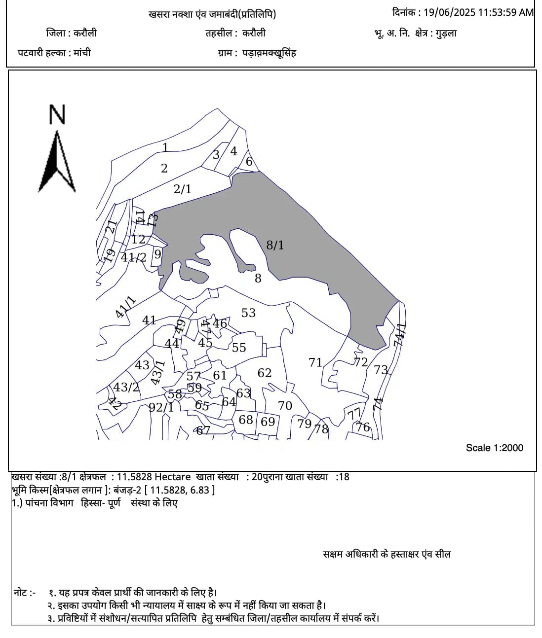
Rajasthan Bhunaksha provides comprehensive land mapping services showing detailed property boundaries, khasra numbers, survey details, and adjacent land information. These official maps are essential for property verification, boundary disputes, construction planning, and legal documentation in Rajasthan. The Bhunaksha system offers accurate geographical representation of land parcels with precise measurements and administrative details that are crucial for property owners, developers, and legal professionals working with rural and urban properties across Rajasthan state.
राजस्थान भूनक्शा व्यापक भूमि मानचित्रण सेवाएं प्रदान करता है जो विस्तृत संपत्ति सीमाओं, खसरा संख्या, सर्वे विवरण और आसन्न भूमि जानकारी दिखाता है। ये आधिकारिक नक्शे राजस्थान में संपत्ति सत्यापन, सीमा विवाद, निर्माण योजना और कानूनी दस्तावेज़ीकरण के लिए आवश्यक हैं।
What is it used for?
Frequently asked — Rajasthan Bhunaksha (भूनक्शा)
How accurate is Rajasthan Bhunaksha mapping?
Rajasthan Bhunaksha provides highly accurate land mapping based on official government surveys, showing exact boundaries, measurements, and survey numbers that are legally recognized for all official purposes.
राजस्थान भूनक्शा आधिकारिक सरकारी सर्वेक्षणों के आधार पर अत्यधिक सटीक भूमि मानचित्रण प्रदान करता है, जो सभी आधिकारिक उद्देश्यों के लिए कानूनी रूप से मान्यता प्राप्त सटीक सीमाओं, माप और सर्वे संख्या दिखाता है।