Survey Boundaries
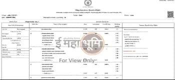
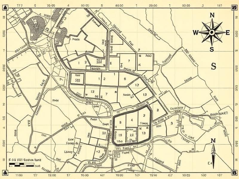
Detailed Survey Boundary Maps
विस्तृत सर्वे सीमा नक्शे
Instant
₹25
Maharashtra
Maharashtra Survey Department
What is Survey Boundaries?
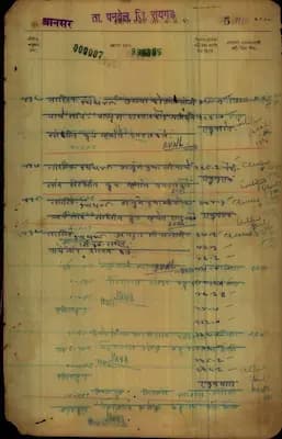
Maharashtra Survey Boundaries service provides precise boundary demarcation maps for individual survey numbers and sub-divisions. These detailed maps show exact property boundaries, measurements, adjacent survey numbers, and geographical features that define property limits. The service is crucial for property owners, developers, and legal professionals who need accurate boundary information for property transactions, disputes, construction planning, or legal proceedings. Our boundary maps are sourced from official survey records and provide legally recognized boundary information.
महाराष्ट्र सर्वे सीमा सेवा व्यक्तिगत सर्वे संख्या और उप-विभाजन के लिए सटीक सीमा निर्धारण नक्शे प्रदान करती है। ये विस्तृत नक्शे सटीक संपत्ति सीमाएं, माप, आसन्न सर्वे संख्या और भौगोलिक विशेषताएं दिखाते हैं जो संपत्ति की सीमा निर्धारित करती हैं। यह सेवा संपत्ति मालिकों, डेवलपर्स और कानूनी पेशेवरों के लिए महत्वपूर्ण है।
What is it used for?
Frequently asked — Survey Boundaries
How accurate are Maharashtra survey boundary maps?
Maharashtra survey boundary maps are highly accurate as they are based on official government surveys and provide legally recognized boundary information that can be used in courts and for official purposes.
महाराष्ट्र सर्वे सीमा नक्शे अत्यधिक सटीक हैं क्योंकि वे आधिकारिक सरकारी सर्वेक्षणों पर आधारित हैं और कानूनी रूप से मान्यता प्राप्त सीमा जानकारी प्रदान करते हैं जो न्यायालयों और आधिकारिक उद्देश्यों के लिए उपयोग की जा सकती है।