Delhi Naksha
Delhi Land Maps & Property Boundaries
दिल्ली भूमि मानचित्र और संपत्ति सीमाएं
Instant
₹25
Delhi
Delhi Survey Department
What is Delhi Naksha?
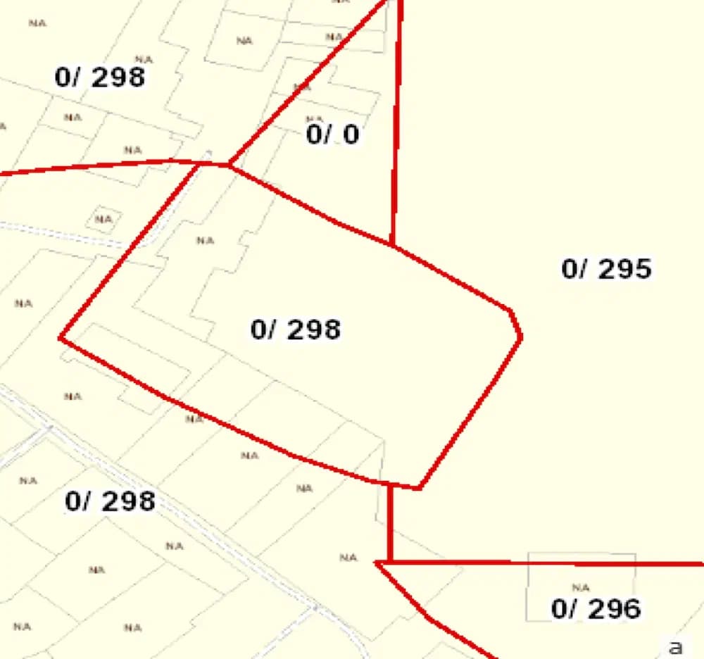
Delhi Naksha provides detailed land mapping and property boundary information for properties across Delhi. These comprehensive maps show property boundaries, plot numbers, administrative divisions, and geographical features essential for property identification and verification. The maps are crucial for property owners, developers, and legal professionals dealing with property matters in Delhi, providing accurate boundary information for construction planning, property disputes, and legal documentation.
दिल्ली नक्शा दिल्ली भर की संपत्तियों के लिए विस्तृत भूमि मानचित्रण और संपत्ति सीमा जानकारी प्रदान करता है। ये व्यापक नक्शे संपत्ति सीमाएं, प्लॉट संख्या, प्रशासनिक विभाजन और संपत्ति पहचान और सत्यापन के लिए आवश्यक भौगोलिक विशेषताएं दिखाते हैं।
What is it used for?
Frequently asked — Delhi Naksha
What details are shown in Delhi Naksha maps?
Delhi Naksha shows property boundaries, plot numbers, dimensions, adjacent properties, and administrative divisions for accurate property identification and planning.
दिल्ली नक्शा सटीक संपत्ति पहचान और योजना के लिए संपत्ति सीमाएं, प्लॉट संख्या, आयाम, आसन्न संपत्तियां और प्रशासनिक विभाजन दिखाता है।